UK polar vortex forecast: what the Met Office actually says about an October freeze
The 14 October outlook favors a drier spell, near-average temperatures and some frost and fog—not a confirmed nationwide polar-vortex freeze.

Verified brief
The story in 60 seconds
The Met Office’s 14 October outlook does not describe a nationwide polar-vortex freeze. For 19–28 October, high pressure, drier conditions and roughly average temperatures are favored, with some night frost and morning fog. The Scottish wind warning has expired; the Met Office listed no warnings in force at our 18:24 UTC review.
This brief and the full story below are based on the disclosed sources. SearchTrends Daily’s interpretation appears later under “Our take.”
Full reporting
The complete story
The short answer — reviewed 14 October 2026:
Is a major cold spell about to begin because of the polar vortex? The Met Office outlook reviewed on 14 October does not describe a nationwide freeze. Its forecast for 19–28 October favors high pressure, drier-than-normal conditions and near-average temperatures, with night frost and morning fog in settled spells. The outlook was issued at 12:00 UTC on 14 October.
The nearer forecast expects cooler conditions over 16–18 October after rain clears the southeast. Cooler than recent days is not the same claim as a severe cold wave, and a frosty night is not evidence of a polar-vortex breakdown. The forecasts remain probabilistic, not a promise of identical weather everywhere.
Evening update — the Scottish wind warning has expired:
At our 18:24 UTC review on 14 October, the Met Office’s live warnings page listed no warnings in force. The earlier yellow wind warning for Highland and Na h-Eileanan Siar was valid from 09:00 to 18:00 UTC on 14 October. Issued on 13 October, it had forecast gusts of 50–60 mph widely and around 70 mph in some exposed coastal and hilly places, with possible transport disruption. Those are the earlier warning’s forecast values, not measurements of what occurred.
Expiry is not a claim that all local hazards or travel disruption have ended. The Met Office’s evening forecast still describes severe gales gradually easing in northwest Scotland, with rain moving southeast overnight. Check the current local forecast and transport operator before travelling.
What the polar vortex is:
The stratospheric polar vortex is a winter circulation of strong winds high above the Arctic. It is a normal part of the atmosphere, not a storm newly approaching Britain. The Met Office explains that prolonged weakening can favor a negative North Atlantic Oscillation, which can increase the likelihood of colder UK conditions. That is a potential influence, not an automatic snow forecast.
For a surface-weather outcome, the important questions are whether a stratospheric disturbance influences the circulation below, where high pressure develops and which direction the air reaching Britain comes from. A change far above the Arctic cannot, on its own, tell a reader what will happen in their town next week.
Why the current forecast matters more than a seasonal signal:
For practical plans, use the forecast for the relevant place and date. Seasonal guidance is useful for understanding a shift in risk over a much longer period, but it does not identify the weather on an individual October day.
The Met Office’s 11 September seasonal assessment described increased odds of a warm, wet autumn. That is historical context, not the current 19–28 October forecast. A season can contain a settled interval without contradicting a broad seasonal probability. Our original 5 October account described a more changeable outlook; those now-superseded passages have been replaced here.
Independent reporting also needs a date label. The Independent’s 6 October account reported expert caution about predicting a UK polar-vortex cold spell. It provides background to the question, but its early-October surface outlook is not being used as evidence of today’s forecast.
Source perspectives
What other reporting adds
These are the reports, official records, and trend observations used to build the story. The note under each link explains exactly what it contributes.
Rechecked 14 October 2026 at 18:24 UTC. The 19–28 October long-range outlook, issued 12:00 UTC, remains high pressure, drier conditions and near-average temperatures, with frost and fog possible. The five-day forecast updated 15:00 UTC describes severe gales gradually easing in northwest Scotland on Wednesday evening and rain moving southeast overnight. This replaces the early-October outlook, not the separate warnings service.
Read original source ↗Met OfficeFactors that influence UK wintersExplains the winter polar vortex, its possible influence on the North Atlantic Oscillation and the roles of other climate drivers. This background is not a forecast of a particular UK cold spell.
Read original source ↗Met OfficeWhat does the latest long-range forecast tell us and what role could El Niño play this autumn?Historical seasonal context from 11 September 2026: broad autumn probabilities and the limits of day-specific prediction. This is not the current 19–28 October forecast. The originally saved URL redirects to this canonical page.
Read original source ↗The IndependentExperts give update on whether polar vortex could hit the UK this autumnHistorical background: the 6 October report attributes caution about predicting a UK polar-vortex cold spell to experts. Its early-October surface outlook is superseded and is not evidence of the current forecast. The originally saved URL redirects here.
Read original source ↗Met OfficeUK weather warnings: evening status and the expired Scottish wind alert — 14 October 2026Live status rechecked 14 October 2026 at 18:24 UTC: the Met Office listed no warnings in force. The earlier Highland and Na h-Eileanan Siar yellow wind warning was read during our 12:31 UTC review: issued 13 October at 07:51 UTC, valid 14 October 09:00–18:00 UTC, with forecast gust ranges and possible disruption. Those earlier values are retained as dated forecast history, not observations. Warning expiry is not an all-clear for local conditions or transport.
Read original source ↗Met OfficeSudden Stratospheric WarmingBackground science reviewed 14 October 2026: explains the potential delay between stratospheric warming and surface effects, why effects are not automatic, and the 2018 Beast from the East example. Not evidence of a current 2026 warming event.
Read original source ↗SearchTrends Daily opinion
Our take
Analysis
What the evidence and search signal suggest
The useful reader question is not whether the polar vortex exists, but whether there is a supported route from an upper-atmosphere change to disruptive weather at ground level. That distinction is our interpretation of the reporting; search interest alone does not establish what caused people to search or how seriously they assess the risk.
We would test a dramatic cold-weather claim in three stages. First, identify observations or a credible forecast of a significant vortex disturbance, rather than ordinary seasonal variation. Second, look for evidence that it will influence North Atlantic circulation. Third, check whether shorter-range forecasts consistently bring sustained cold air to the UK. Confidence should rise as those pieces connect, not simply because the term appears in a headline.
High pressure is not enough to complete that chain. Its position and the resulting airflow matter. Night frost under clear skies and a persistent nationwide cold wave are different outcomes. The 14 October surface outlook should not be relabelled a polar-vortex freeze without evidence connecting the two.
The expired regional wind warning illustrates a separate practical distinction: a warning is time-limited, whereas its effects may take longer to clear. No warnings in force is not an all-clear for every journey. Neither the earlier warning nor the long-range outlook should be stretched beyond its stated geography and dates.
Analysis and commentary are SearchTrends Daily’s interpretation. They are intentionally separated from the sourced account above.
Meaning
Why this matters
Weather language can collapse several different claims into one. A polar vortex exists; it may strengthen or weaken; that change may influence the jet stream; and the resulting surface pattern may or may not bring cold air to the UK. Treating the first fact as proof of the last creates false certainty.
For readers, the useful distinction is between a background risk factor and an actionable forecast. The polar vortex belongs in the first category until observations and forecast models show a consistent route from the stratosphere to UK surface weather. Met Office warnings and local forecasts belong in the second.
Background
How we got here
Polar-vortex interest often rises before winter because major cold spells have followed some sudden stratospheric warming events. The best-known recent UK example was the 2018 Beast from the East, when disrupted stratospheric circulation was followed by easterly winds and severe cold. But the relationship is not one-to-one. Not every weakened vortex produces a UK cold spell, and cold outbreaks can arise through other circulation patterns.
This is why forecasters discuss the vortex alongside the jet stream, Atlantic pressure patterns, sea-surface temperatures and tropical drivers rather than using it as a stand-alone forecast.
Outlook
What is likely to happen next
We will revisit this assessment if the Met Office materially changes the surface outlook, issues a specific cold warning or identifies a credible stratospheric development relevant to UK weather. A surface cold forecast would warrant an update even before its atmospheric cause was settled; attributing it to the polar vortex would require additional evidence.
Observations of a major sudden stratospheric warming, followed by agreement across forecasts about persistent blocking and cold airflow towards Britain, would strengthen the case for a connected cold spell. A single model run, ordinary frost or another dramatic headline would not establish that case.
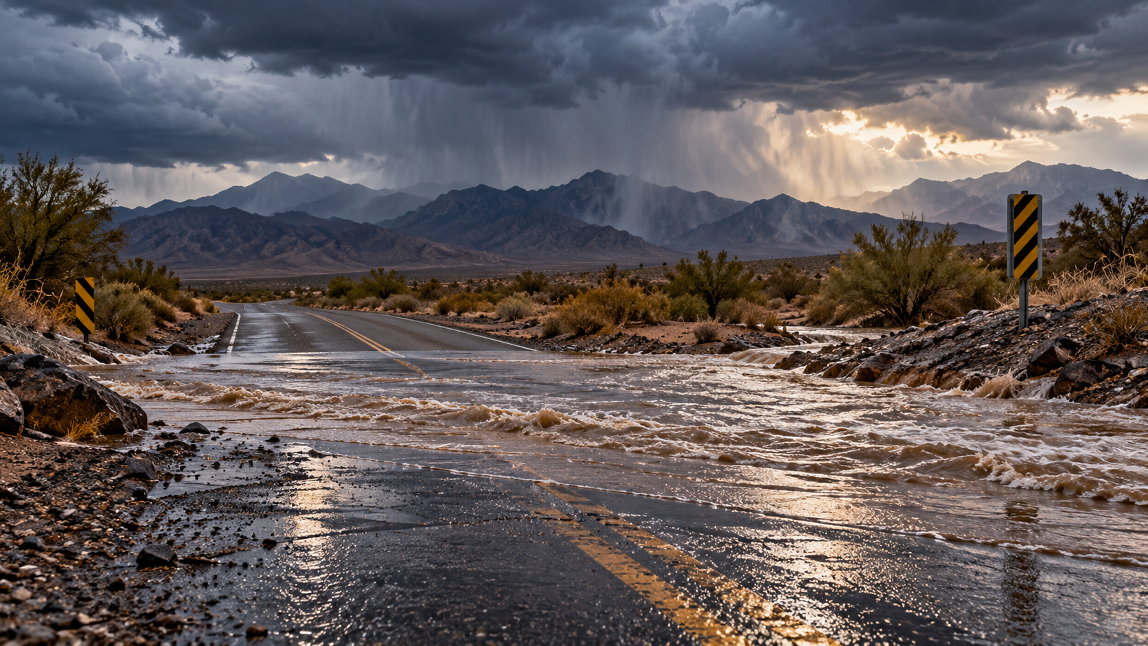
The 14 October Scottish wind warning has expired. New warnings or changes to local forecasts would change the practical travel picture; readers should check the live warning page and their local forecast, not treat this dated review as an all-clear. The illustration is conceptual, not a forecast map or a photograph of an actual weather event.
A conditional editorial assessment based on the evidence available at the review date, not a guaranteed outcome.
Live record
Updates to this story
Evening review: Scottish wind warning expires; no warnings in force at 18:24 UTC
Reviewed 14 October 2026 at 18:24 UTC. The Met Office’s live warnings page now lists no warnings in force, after the Highland and Na h-Eileanan Siar yellow wind warning’s stated 18:00 UTC expiry. Revised the summary, full account, analysis and what-next section so that the earlier alert is historical, not a current warning. Its gust figures remain explicitly forecasts, not observed measurements. Added the official evening forecast’s continuing account of gales easing and rain moving southeast, and explained why warning expiry is not an all-clear for local travel. The 19–28 October long-range outlook is unchanged on recheck. Re-reviewed the two live Met Office citation notes. Preserved the original publication date, headline, stable URL, earlier 12:34 update, GB market and topic-specific editorial illustration. No new article or search-volume badge was created.
14 October review: new Met Office outlook replaces the 5 October forecast
Reviewed 14 October 2026 at 12:31 UTC. Replaced the superseded 5 October surface-weather passages with the 14 October official outlook, and added the time-limited Scottish wind warning. Revised the summary, analysis and what-next section to distinguish ordinary frost from a nationwide polar-vortex freeze. Kept the original publication date and stable URL. Replaced a non-rendering hero with a new conceptual editorial illustration, clearly labelled as such. The September seasonal assessment and 6 October independent report are now explicitly historical context. Source metadata has been reviewed; this is a material update, not a new article. The earlier 5 October passage expected a changeable second half of October with above-average temperatures more likely overall; that historical wording should not be read as the 14 October forecast. The article is now associated with the reviewed, active GB signal “met office polar vortex forecast”; no search-volume or growth badge has been added.

Commentary
What we think
SearchTrends Daily opinion: weather coverage should explain probability and timing, not use polar vortex as a synonym for snow. Updating an old outlook matters as much as qualifying a dramatic new claim. Readers deserve to see which forecast period is being discussed, what changed and what remains unknown. A quieter headline can still be useful if it separates an actionable warning from a seasonal possibility.